A Look at ScanGator GPR Projects Portfolio: Exploring Ground Penetrating Radar Inspections
Looking at past ScanGator GPR projects portfolio shows the use of Ground Penetrating Radar (GPR) technology to transform the inspection and analysis of subsurface structures. The company has excelled in delivering high-quality GPR projects in various sectors. This article explores some of ScanGator GPR’s significant inspections and projects, highlighting the versatility and effectiveness of GPR technology.
Infrastructure Assessment
One of ScanGator GPR’s significant projects involved the assessment of aging infrastructure in urban settings. Municipalities are increasingly concerned about the integrity of their roads, bridges, and tunnels. Utilizing GPR, ScanGator provided critical data on the location and condition of buried utilities, voids, and anomalies within concrete structures. The non-invasive nature of GPR allowed for real-time analysis without disrupting traffic or requiring extensive excavation, helping city planners make informed decisions about maintenance and upgrades.
Archaeological Ground Mapping
In collaboration with historians and archaeologists, ScanGator GPR has been instrumental in uncovering hidden artifacts and structures in historical sites. A notable project used advanced GPR technology at a colonial-era site where traditional excavation could harm important historical remains. ScanGator created detailed subsurface maps to identify features like foundations and graves, allowing for archaeological studies without damaging the site.
Environmental Assessments
Environmental investigations are essential for understanding soil compositions, contamination, and waste disposal. ScanGator GPR inspected areas at risk of environmental hazards, like landfills or industrial sites. Through their GPR projects, the company can identify buried tanks, pipelines, and areas of contamination without extensive drilling. This information proved invaluable for environmental assessments and remediation efforts, providing data to guide cleanup strategies and ensuring compliance with regulatory requirements.
Detection of Buried Utilities
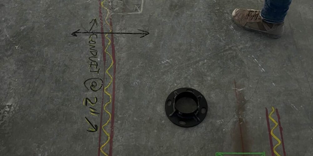
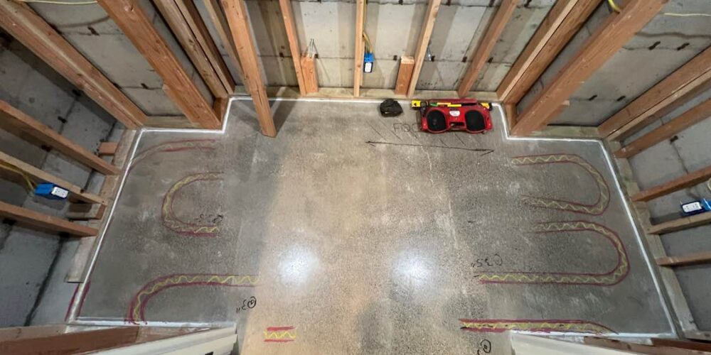
Utility mapping is a critical service offered by ScanGator GPR, ensuring safe construction and excavation practices. One of their most extensive projects involved a large-scale utility mapping operation in preparation for new construction in a densely populated city. ScanGator leveraged GPR to locate and map utilities like gas, water, electricity, and telecommunications lines. This proactive approach mitigated risks associated with accidental utility strikes, thereby enhancing safety, reducing project delays, and saving costs.
Concrete Inspection in Construction
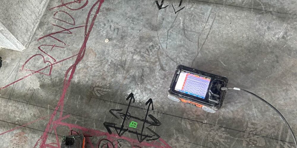
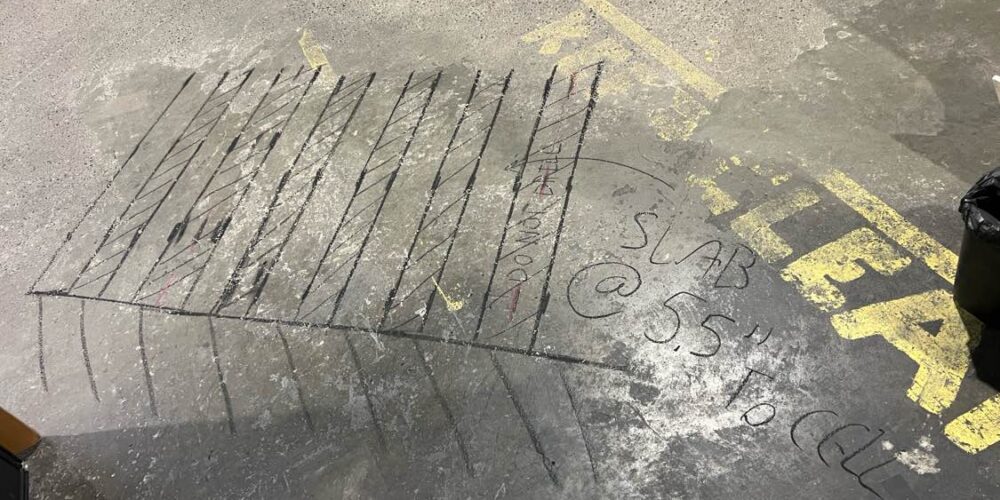
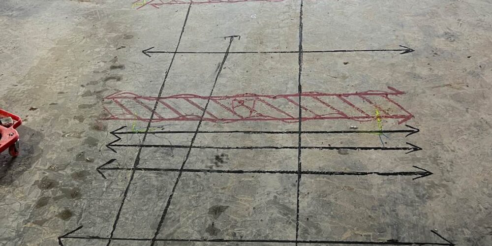
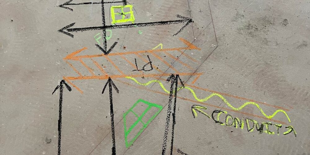
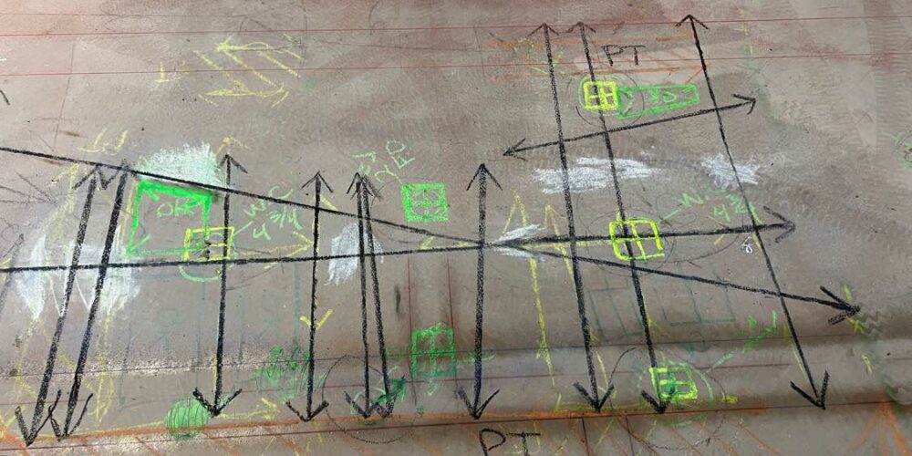
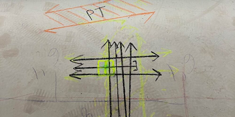
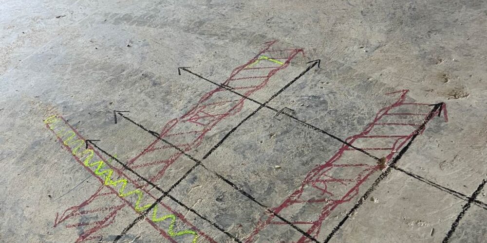
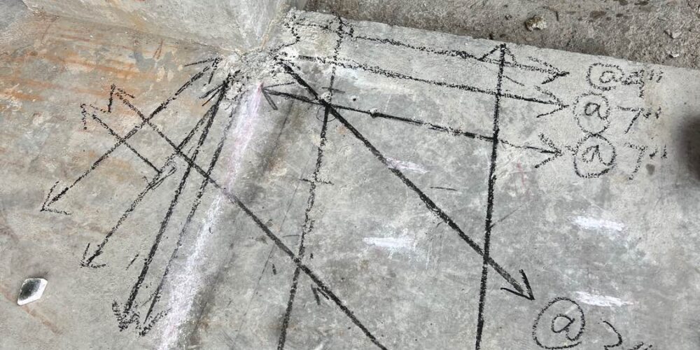
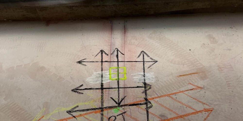
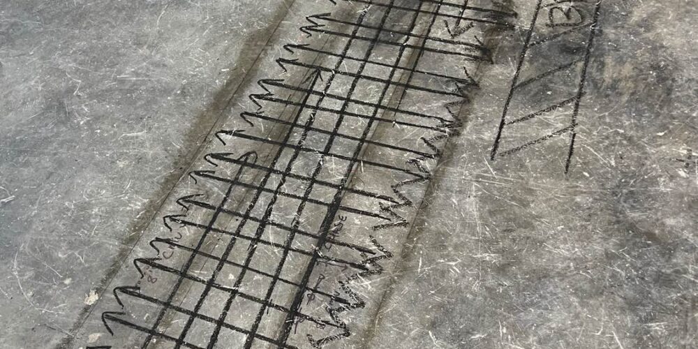
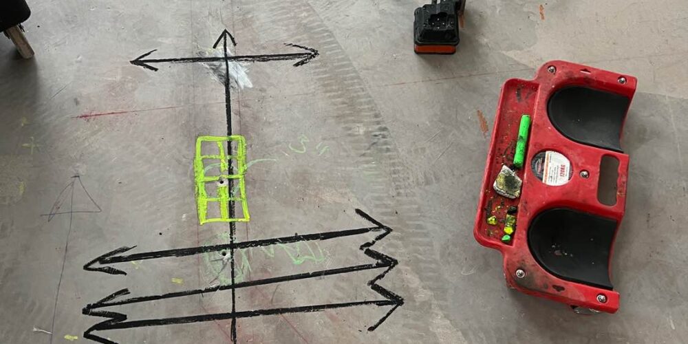
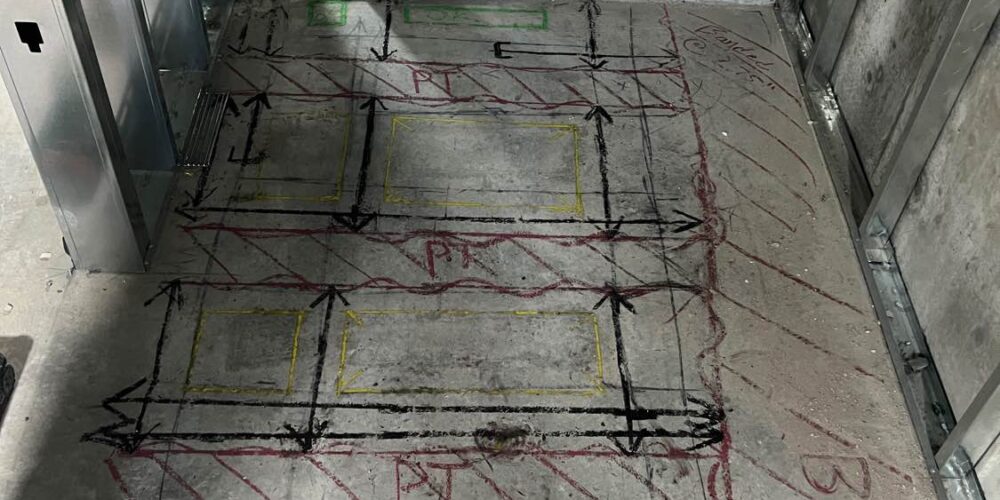
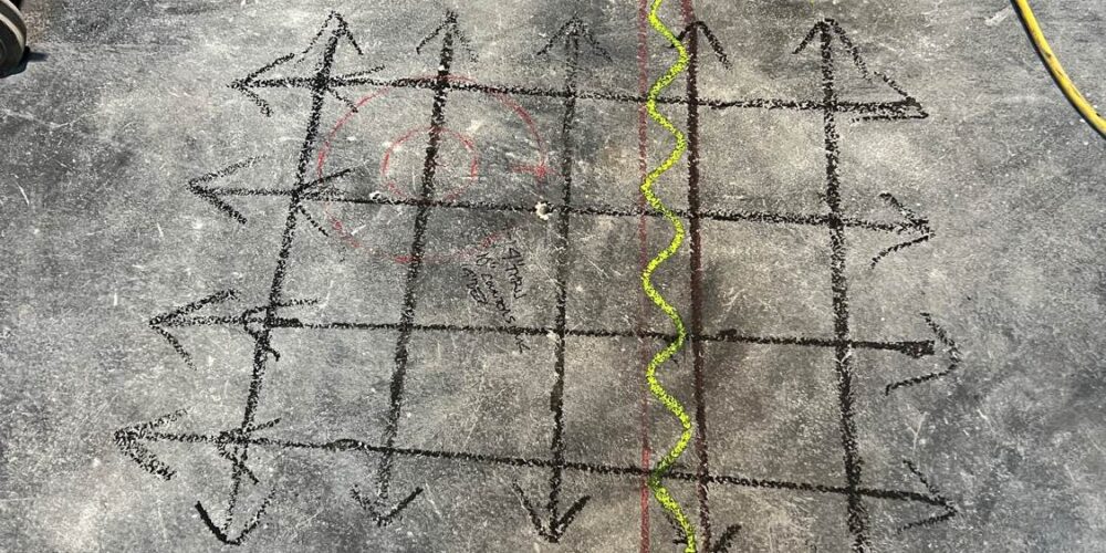
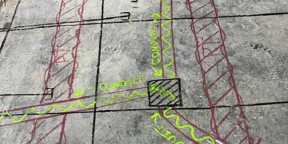
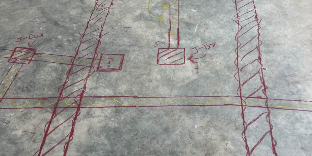
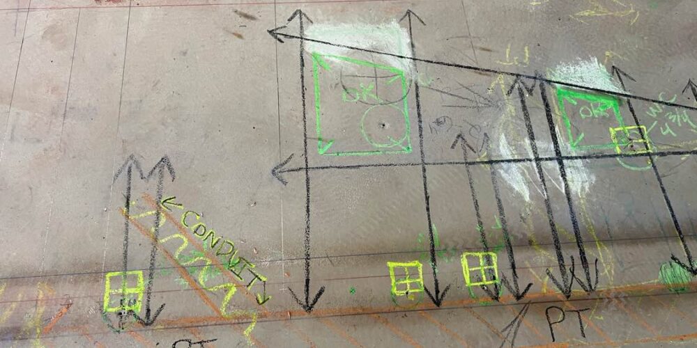
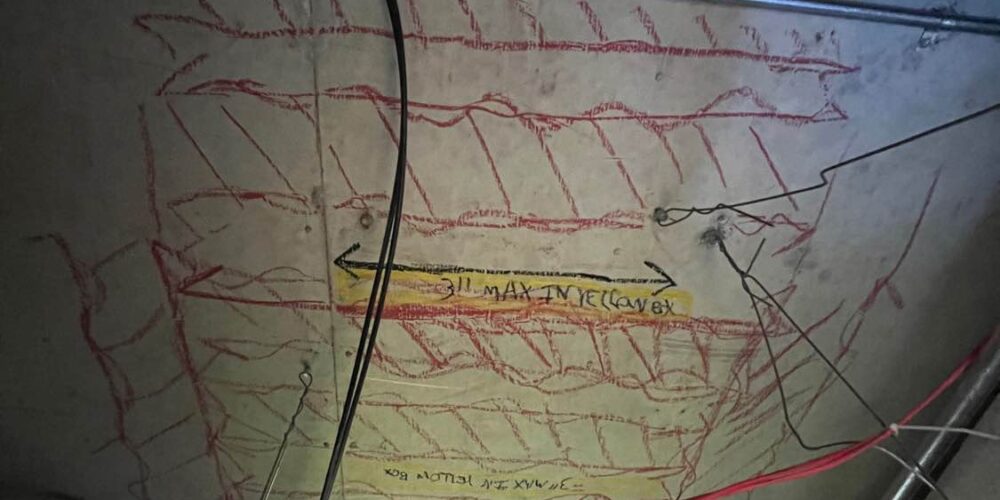
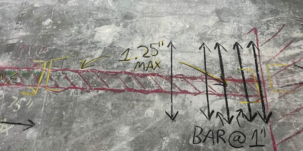
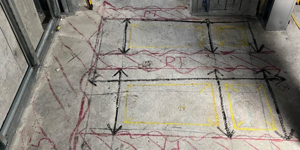
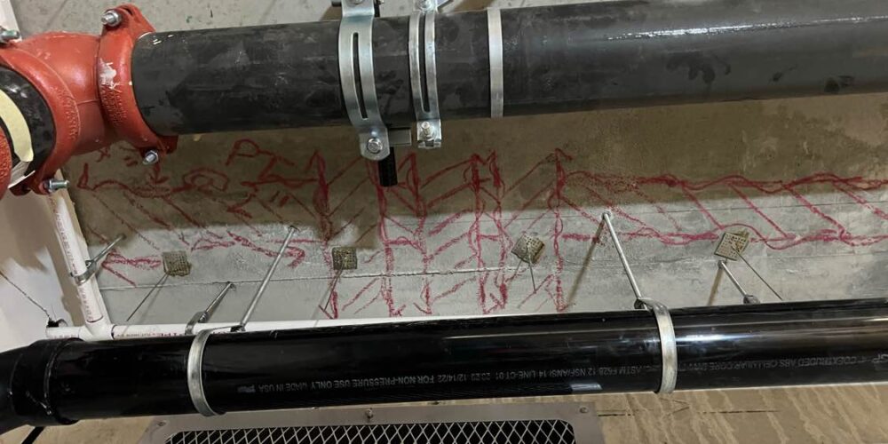
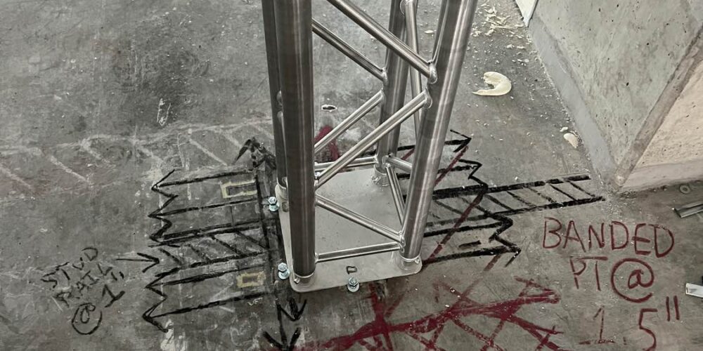
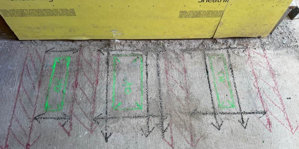
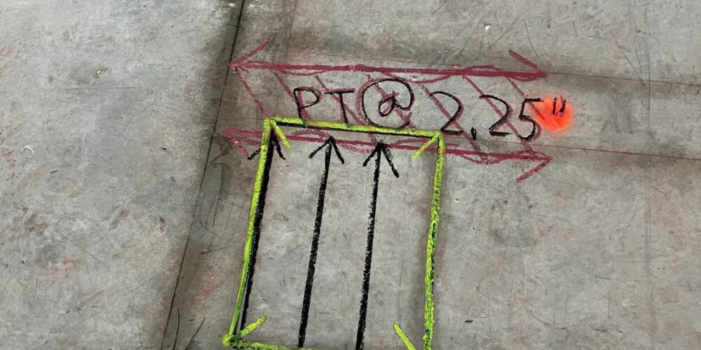
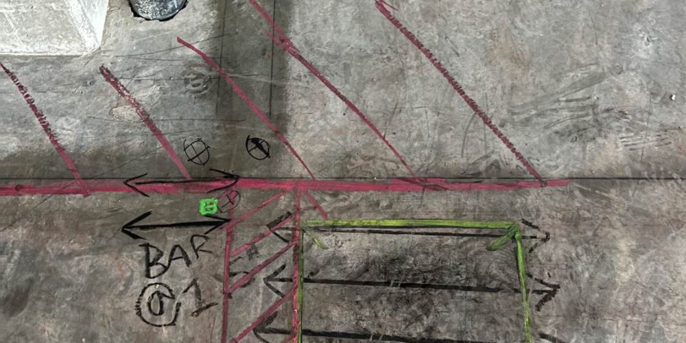
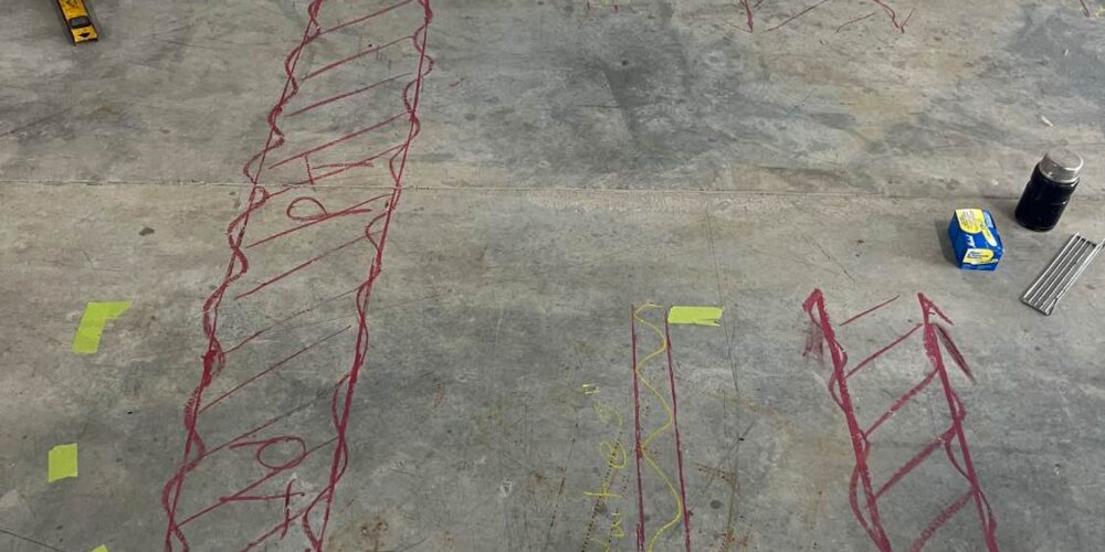
In the construction industry, assessing concrete health is vital for structural integrity. ScanGator GPR provided inspection services for a large commercial building project that required detailed assessments of concrete slabs and embedded post-tension cables. ScanGator GPR imaging equipment detects problems like delamination, rebar placement, and slab thickness.This information allowed contractors to address potential problems early in the construction process, ensuring compliance with engineering specifications and enhancing building longevity.
Conclusion
ScanGator GPR projects demonstrate how the equipment identifies problems like delamination, rebar placement, and slab thickness. From infrastructure assessments to archaeological findings, environmental studies to utility mapping, and concrete evaluations, the versatility of GPR technology has proven essential across multiple sectors. As urban environments become increasingly complex and the need for subsurface clarity remains paramount, ScanGator GPR continues to lead the charge, employing innovative techniques to provide clarity and insight beneath the surface. The future of subsurface investigations appears bright, thanks to the pioneering efforts of companies like ScanGator GPR.
Learn More about ScanGator GPR FAQ’s
